Esri Ireland puts Simply Blue at the crest of the marine development wave
Share

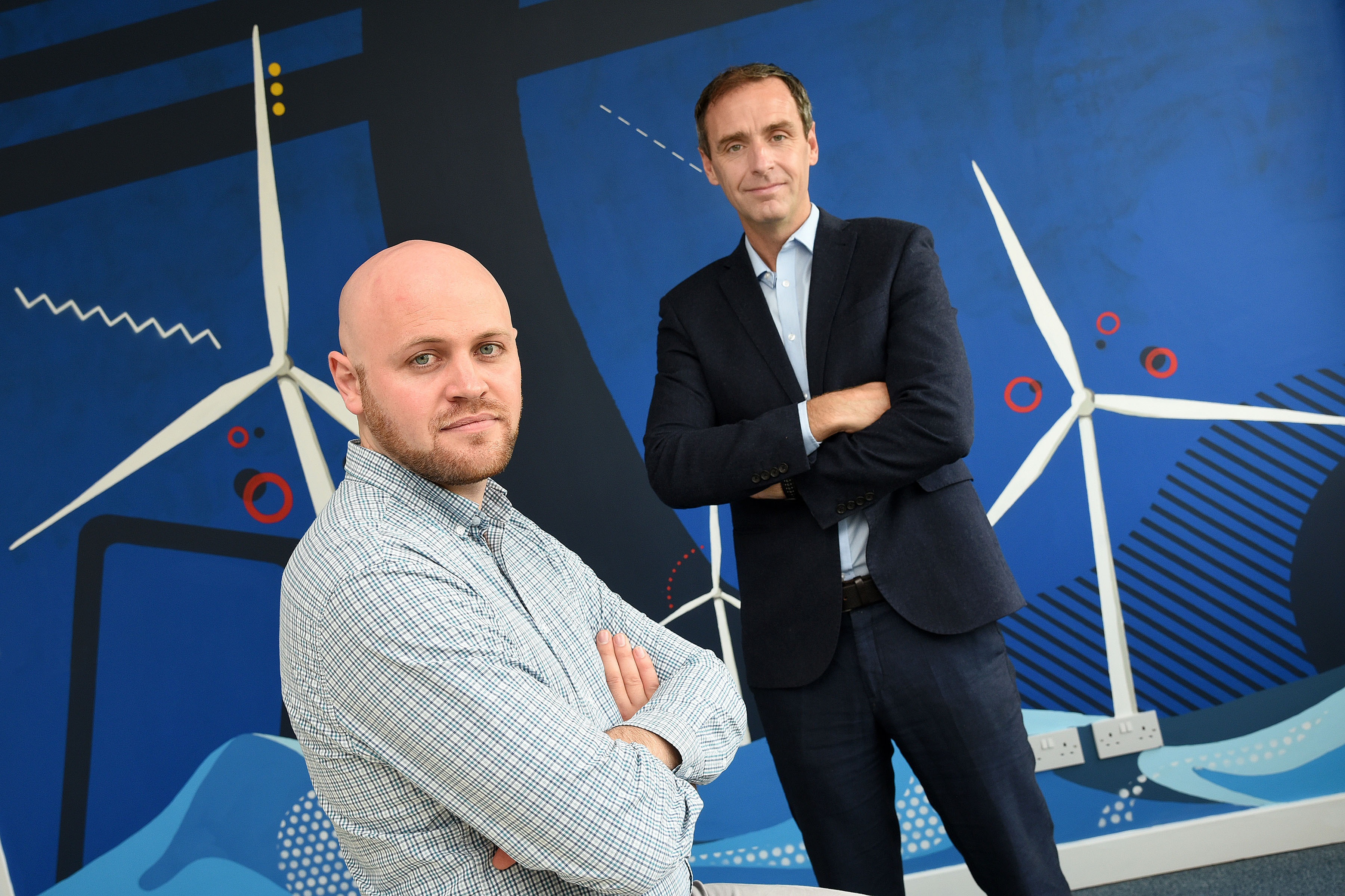
Sam Bouma Energy Resource Modeller and Data Specialist Simply Blue and Dermot O’Kane Head of Sales Esri Ireland
Esri Ireland, the market leader in geographic information systems (GIS), is today announcing that its interactive digital mapping platform (ArcGIS) is being used by Cork-based marine developer Simply Blue to pioneer projects such as floating wind farms, wave power and sustainable aquaculture schemes. The mapping system is being used to support in-house decision-making at Simply Blue, such as identifying suitable locations for wind turbine fields and other projects. Underpinned by this advanced technology, Simply Blue has recently partnered with traditional energy companies to develop floating wind farms in the Celtic Sea.
The mapping features will also be used to communicate projects to communities and other stakeholders, by conveying what offshore wind farms will look like from homes and reassuring fishermen that proposed marine developments will not affect fishing grounds. The solution will also allow Simply Blue to collaborate more effectively with clients and consultants, especially in the planning and development phase of new sustainable energy projects.