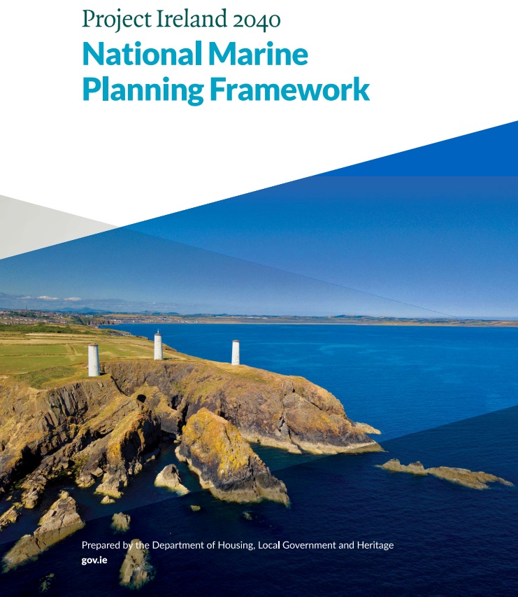
MarinePlan.ie launched by Government of Ireland
Share

On Friday 18th February 2022 the Government launched http://marineplan.ie an online interactive digital tool for marine spatial planning in Ireland. This web map portal is Ireland’s first marine spatial planning portal. It links planning within the Maritime area and the relevant policies for each marine sector or activity listed in the National Marine Planning Framework (NMPF). The site has 3 main areas: Activities Map, Activities and Policies Map. There is also an information page showing all Government Departments and Agencies with a role in the Maritime area.
Currently in Beta version the interactive map will be a great source of information for all user of the maritime area.
More details on the map are available here: https://marineplan.ie/